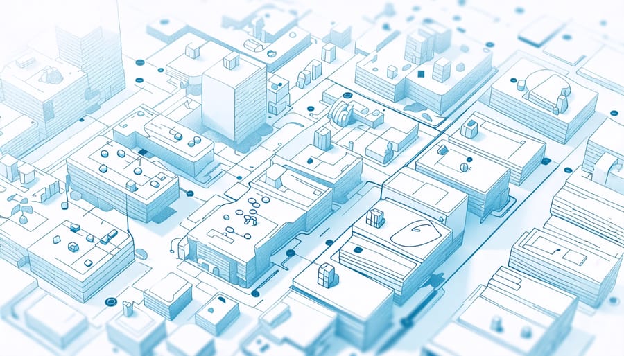
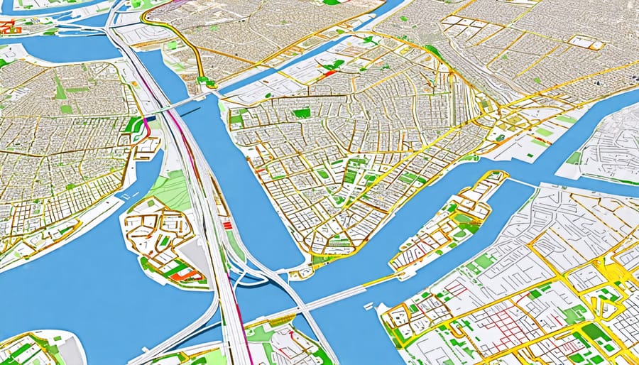
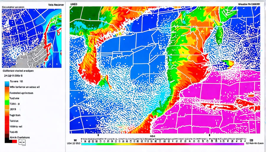
Explore the potential of advanced GIS by integrating geospatial data with artificial intelligence to unlock nuanced insights across diverse industries. Harness machine learning algorithms to analyze complex spatial data sets, enabling smarter decision-making in urban planning, environmental conservation, and disaster management. Embrace cloud-based GIS platforms for real-time data sharing and collaboration, enhancing efficiency and facilitating seamless integration with existing systems. Implement 3D mapping and visualization tools to create immersive and interactive experiences, allowing for better interpretation and communication of spatial data in fields such as archaeology, meteorology, and infrastructure development. Start by engaging with case studies and expert testimonials to understand the transformative impact of these technologies, and take steps to incorporate them into your workflows for cutting-edge spatial analysis and strategic growth.
What Makes GIS ‘Advanced’?
Evolution from Basic to Advanced GIS
The evolution from basic to advanced GIS technologies represents a transformative journey, reshaping how we interact with the spatial elements of our world. Initially, GIS emerged as a tool for cartography, primarily focusing on mapping and simple spatial analyses. Early systems were cumbersome, operated by specialized experts who painstakingly digitized maps. Over the decades, technological advancements paralleled the rapid evolution of computing systems, making GIS more accessible, efficient, and versatile. The integration of innovations such as high-resolution satellite imagery and geospatial databases expanded GIS’s capabilities, enabling detailed environmental modeling and urban planning. Recently, the integration of cutting-edge technologies, including AI integration, has propelled GIS into new realms, allowing for predictive modeling and real-time data processing. Today’s advanced GIS systems are used across industries, from disaster management to precision agriculture, demonstrating how evolving technology continues to deepen our understanding of the complex world around us, as highlighted by researchers who see this field as pivotal in addressing global challenges.
Key Features of Advanced GIS
Advanced GIS offers a suite of powerful tools that redefine how we interact with geographic data. One of the standout features is real-time data processing and analysis, which allows users to visualize and interpret data as it is generated. This capability is crucial for applications like monitoring traffic patterns or responding to natural disasters, where timing is everything. Equally transformative is the integration of predictive modeling, enabling professionals to forecast future trends by analyzing patterns and relationships within the data. For instance, meteorologists can predict weather conditions with greater accuracy, saving lives and resources. Additionally, advanced GIS systems increasingly embrace automation, reducing the manual workload and enhancing efficiency. Automated mapping and data collection streamline workflows across sectors, from urban planning to agriculture. Dr. Emily Thompson, a leading geospatial researcher, notes, “These innovations allow us to address complex challenges with precision and agility.” Through such advancements, GIS is not only becoming more sophisticated but also more indispensable in tackling today’s pressing issues.

Applications of Advanced GIS in Earth Sciences
Environmental Monitoring and Management
Geographic Information Systems (GIS) are transforming how we perceive and address environmental challenges. By integrating various datasets, GIS enhances our understanding of climate change, biodiversity, and natural resource management. As GIS expert Clara Jones emphasizes, “GIS provides not just a map, but a comprehensive model of our environment, allowing us to see patterns and predict changes.” This ability to visualize data from multiple perspectives is crucial for monitoring climate changes, offering insights into shifting weather patterns, rising sea levels, and melting ice caps. Through real-time data analysis, GIS supports scientists and policymakers in crafting proactive responses to climate-related issues.
Tracking biodiversity is another promising application of GIS. Researchers like Dr. Emily Chen utilize it to analyze habitat distribution and species migration. “Incorporating GIS into biodiversity studies allows us to track changes at unprecedented scales,” says Dr. Chen. This vital tool aids conservationists in identifying critical habitats and designing effective preservation strategies.
In managing natural resources, GIS is a game-changer. By mapping land use and resource distribution, it assists in sustainable planning and reduces human impact on ecosystems. Through interdisciplinary science, GIS continues to evolve, intertwining with other fields to unlock new solutions for environmental management. These capabilities not only enhance scientific research but also inspire hope for sustainable future practices.
Impact on Urban Planning and Infrastructure
Advanced Geographic Information Systems (GIS) are significantly reshaping the landscape of urban planning and infrastructure development. With the ability to layer vast amounts of spatial data, GIS aids urban planners in making informed decisions. The technology enables the analysis of patterns and relationships within urban environments, facilitating smart growth strategies that accommodate expanding populations while preserving resources. A Stanford University researcher recently noted, “GIS allows us to visualize urban dynamics on a scale previously impossible, thus empowering more sustainable city planning.”
In disaster management, GIS proves indispensable. The technology provides critical insights before, during, and after natural calamities, enhancing emergency response strategies and risk assessment. By analyzing real-time data and historical trends, GIS helps in identifying vulnerable areas, optimizing evacuation routes, and deploying resources effectively.
When it comes to infrastructure development, GIS is a powerful tool in planning and maintaining essential services like transportation, water management, and energy distribution. Cities like Singapore are pioneering infrastructure maintenance with GIS, resulting in reduced costs and increased efficiency. By integrating advanced GIS with sustainable urban design, cities can chart a path towards resilience and innovation in the face of rapid urbanization.

Physics and GIS: A Synergistic Approach
Modeling Physical Processes with GIS
In the realm of advanced GIS, the ability to model physical processes opens new frontiers in understanding our world. From tracing the sinuous paths of rivers to predicting the swirling dance of clouds, GIS harnesses the power of spatial data to simulate complex natural phenomena. One captivating example is the simulation of weather patterns. By integrating GIS with physics, researchers can analyze climatic data to predict storm paths and assess impacts, enhancing preparedness and response strategies.
Water flow modeling is another vital application. GIS-based hydrological models simulate rainfall-runoff processes essential for water resource management, helping mitigate flood risks. Similarly, tectonic movements, once an elusive subject, can now be studied using GIS to forecast geological events. Researchers use spatial analysis to visualize fault lines and tectonic shifts, offering insights into earthquake preparedness.
These applications illustrate GIS as a transformative tool, bridging the gap between theoretical models and real-world processes. As Dr. Lee Huang, a leading geoscientist, notes, “GIS reshapes our capabilities, translating vast datasets into actionable insights that serve society.”

Quotes from Researchers
“Advanced GIS systems are offering groundbreaking opportunities in scientific research,” says Dr. Linda Watson, a leading geospatial analyst. “By integrating the principles of physics with GIS technologies, we’re able to simulate complex phenomena, like climate change models, more accurately than ever before.” Dr. Watson highlights the impact of such advancements on urban planning and disaster management, noting how they allow for precise risk assessments and resource allocations.
Meanwhile, Dr. Carlos Martinez, a physicist renowned for his work in spatial data analysis, emphasizes, “The synergy between physics and GIS is nothing short of revolutionary. We’re now able to visualize and analyze spatial-temporal data in ways that were previously unimaginable.” Dr. Martinez believes that this convergence is essential for understanding environmental patterns and making informed decisions to mitigate ecological impacts.
Both experts agree on the incredible potential of advanced GIS technologies in fostering interdisciplinary research. As Dr. Watson puts it, “The future of GIS is not just in mapping, but in revealing the invisible forces that shape our world.” The enthusiasm shared by these researchers underlines the transformative power of combining physics with GIS, opening new horizons for discovery and innovation.
Real-World Benefits and Future Prospects
Success Stories
Advanced GIS technologies have transformed the landscape of environmental and urban planning with remarkable results. In Kenya, the application of GIS in agricultural operations has empowered local farmers by optimizing crop yields. By integrating satellite imagery and weather data, farmers can pinpoint the best planting seasons, ultimately boosting productivity. Dr. Jane Mwangi, a lead researcher at Kenya’s Agricultural Research Institute, said, “GIS has bridged the gap between traditional farming methods and modern technology, making farming more efficient and sustainable.”
In urban settings, the city of Los Angeles exemplifies the power of GIS in traffic management. By analyzing traffic patterns and congestion data, city planners have optimized traffic signals, reducing commute times and emissions. According to city planner Mark Johnson, “GIS provides us with the critical insights needed to enhance urban mobility and improve quality of life.”
These examples illustrate how GIS is enhancing decision-making processes and creating impactful changes across diverse fields, from agriculture to urban development.
Future Trends in GIS
As we look ahead, the future of Geographic Information Systems (GIS) is set to be transformative, intertwining with fields like artificial intelligence and the Internet of Things (IoT). Envision GIS-powered smart cities optimizing traffic and public services, or climate modeling integrating real-time data to refine environmental strategies. “The potential for GIS to evolve into an indispensable tool for environmental and urban planning is immense,” says Dr. Lydia Reynolds of GreenTech Labs. Despite these opportunities, challenges like data privacy and the need for robust infrastructure remain. Ultimately, the integration of GIS with emerging technologies holds the key to innovative, sustainable solutions that will shape our world.
Conclusion
In conclusion, the exploration of undefined mathematical concepts and their implications within Geographic Information Systems (GIS) presents a compelling frontier for the earth sciences. As we’ve discussed, the ability to model and visualize the complexities of our planet hinges on advancements in GIS technology. Dr. Emily Chen, a GIS researcher, emphasizes that “each innovation in GIS propels our understanding of global phenomena, fueling discoveries that address both local and planetary challenges.” This underscores the immense potential GIS holds in shaping environmental policies, urban planning, and disaster management by providing precise and accessible data interpretations.
Integrating GIS with artificial intelligence and machine learning is particularly promising, allowing for dynamic simulations that can anticipate changes and suggest sustainable practices. Real-world applications, such as tracking climate shifts or optimizing agricultural practices, demonstrate how GIS technology is already instrumental in addressing tangible issues. However, as we continue to push the boundaries, it’s crucial to maintain a balance between technological innovation and ethical considerations, ensuring advancements serve the greater good. With an enthusiastic nod to the future, we anticipate that ongoing research and collaboration across disciplines will further enhance GIS tools, unlocking new dimensions in earth science exploration. The journey of unraveling the unknown through GIS is just beginning, and its potential to inform, enlighten, and inspire is limitless.

