Unravel the mysteries of azimuth geology by mapping subsurface structures accurately with azimuthal data, which guides in mineral exploration and environmental studies. Analyze geological formations using azimuth surveys to assess their orientation and impact on resource extraction and water aquifers. Foster interdisciplinary research by integrating azimuth analysis with geophysics and remote sensing to enhance land stability and natural disaster prediction. Leverage azimuth geometry to optimize the placement of infrastructure, mitigating geological risks in construction and urban planning. Employ cutting-edge technologies to refine azimuthal measurements, offering precision in data for sustainable development and in-depth scientific inquiry.
The Science Behind Azimuth Measurements
What is Azimuth?
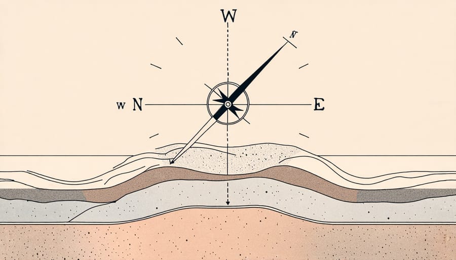
In the realm of geology, azimuth plays a pivotal role in understanding Earth’s intricate structures. Azimuth is a mathematical concept that describes an angle measurement, usually in degrees, from a reference direction, typically north. In geology, it is primarily used to identify the orientation of geological features, such as faults or striations on rock surfaces. This orientation is crucial for researchers and professionals working on projects that involve mapping and analyzing terrain, which is why azimuth has a significant presence in the field. According to Dr. Eliza Brooks, a geologist from the University of California, “Understanding azimuth helps us integrate ground observations with satellite data, thus revolutionizing Earth sciences.” For instance, when constructing infrastructure or conducting site assessments, azimuth can guide precise calculations that ensure safety and efficiency. By bridging theoretical mathematics and practical applications, azimuth encapsulates how foundational scientific principles can yield substantial real-world impacts.
Azimuth in Geological Mapping
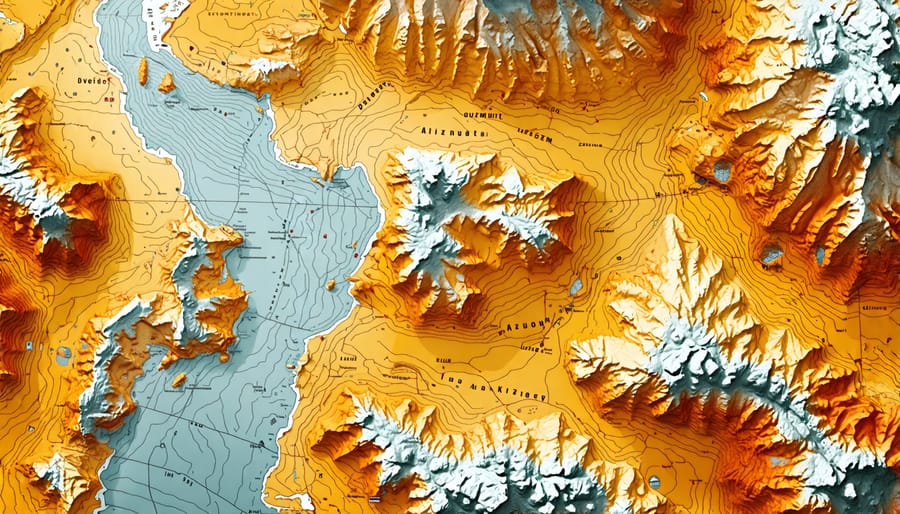
In geological mapping, azimuth measurements play a crucial role in accurately depicting the orientation of rock formations, faults, and mineral deposits. By providing precise directional data, azimuth helps geologists delineate the relationships between different geological features. This becomes particularly important in regions with complex geology, where understanding the orientation can offer insights into past tectonic activities and guide resource exploration.
Consider the work of Dr. Lisa Carter, a geologist who has spent over a decade mapping the intricate layers of the Appalachian Mountains. “Azimuth measurements,” she notes, “are like the compass of geological mapping. They enable us to translate the dizzying array of rock orientations into a coherent map that tells the story of our planet’s dynamic history.”
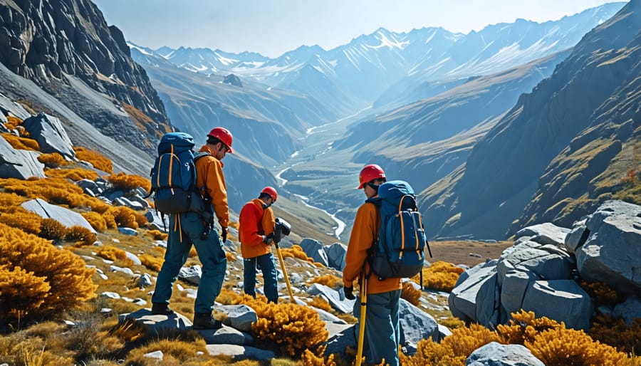
The process begins with field geologists using a compass to measure the azimuth, or the angle between a point and a reference direction such as the north, of geological structures. These measurements are meticulously recorded and later integrated into digital mapping software to create detailed geological maps. This integration aids in identifying patterns of mineralization crucial for mining operations or selecting sites for infrastructure projects, further illustrating the vital role of azimuth in practical applications.
Such precise mapping also enhances educational efforts, providing students and educators with tangible representations of Earth’s processes. In essence, azimuth measurements transform the complexity of geology into maps that are both scientifically rigorous and practically useful.
Applications of Azimuth Geology
Azimuth in Resource Exploration
In the quest for natural resources like oil, gas, and minerals, azimuth plays a crucial role by guiding the exploration process with surgical precision. The azimuth, defined as the angle between a reference direction and a target direction on the horizontal plane, serves as an essential tool in aligning geological surveys and drilling operations. By accurately determining the azimuth of geological structures, geologists can predict the presence of resources more reliably, effectively reducing the chances of fruitless exploration.
According to Dr. Emily Harper, a leading researcher in geophysical exploration, “Azimuthal data allow us to unlock the hidden secrets beneath the Earth’s surface by offering a directional perspective that is often more insightful than traditional methods.” This is exemplified in the field of seismic surveys, where azimuthal variation in wave speed can indicate fractures and pathways that hydrocarbons might exploit, illuminating promising drilling locations.
Moreover, in mineral exploration, azimuthal measurements are integral to the orientation of boreholes, ensuring that drilling operations intersect targeted ore bodies at optimal angles. This technique not only enhances the efficiency of resource retrieval but also aids in minimizing environmental disruption by focusing efforts precisely where needed.
As technology advances, so too does the accuracy and applicability of azimuthal data, promising even greater contributions to sustainable resource exploration in the future.
The Role of Azimuth in Environmental Studies
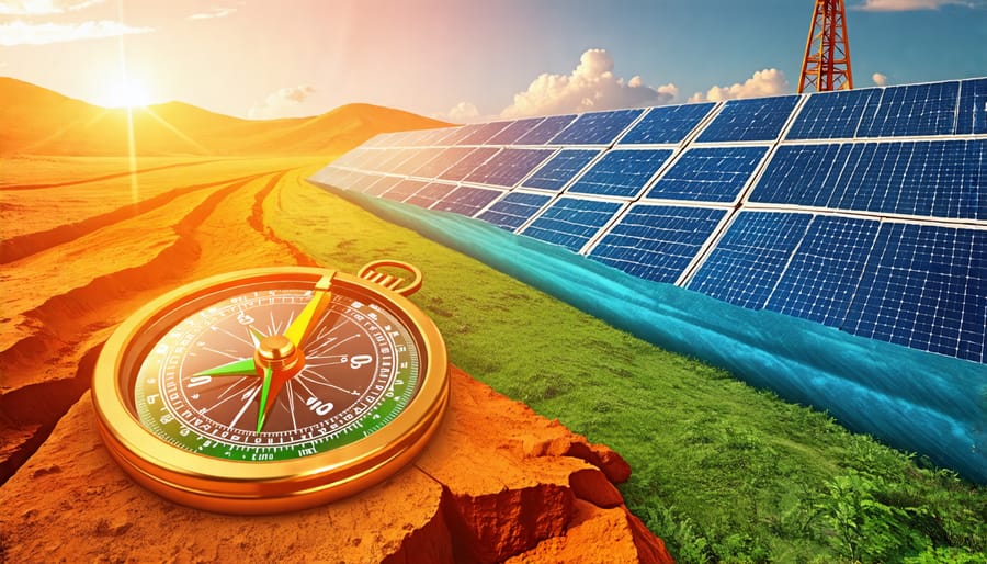
Azimuth, a critical component in directional measurements, plays a pivotal role in environmental studies, particularly in assessing the environmental impact of various activities. This angular measurement, which defines the orientation of features concerning the Earth’s North Pole, assists in evaluating diverse geospatial phenomena. For instance, researchers utilize azimuth data to determine the solar panel orientation maximally efficient for different geographical locations. Optimizing panel positioning not only boosts energy output but also underscores a sustainable approach to resource usage.
Environmental impact assessments (EIAs) benefit significantly from azimuth data. By understanding wind patterns, water flow, and sunlight exposure through azimuth calculations, geologists can predict the potential environmental effects of construction projects or natural resource extraction. Dr. Sandra Mitchell, an environmental scientist, states, “Azimuth data offers invaluable insights into how human activities might interact with the natural world, allowing for more informed decision-making.”
Moreover, azimuth readings help track migratory patterns of wildlife and pinpoint habitats at risk due to environmental changes. This application showcases azimuth’s real-world benefits, enabling proactive conservation strategies. In essence, azimuth is a silent hero in environmental research, supporting efforts to harmonize human endeavors with the ecological balance, paving the way for a sustainable future.
Case Studies and Research Insights
Innovative Research from Leading Universities
In recent years, leading universities have harnessed the power of azimuth geology to unlock new insights into our planet’s past and future. Among these prestigious institutions, the University of California, Berkeley, has pioneered studies focusing on tectonic plate movements. By utilizing cutting-edge satellite imaging technology, researchers at Berkeley have been able to predict natural disaster patterns with unprecedented accuracy, potentially saving lives and minimizing economic loss.
Meanwhile, a collaborative effort between MIT and Stanford has explored the applications of azimuth geology in sustainable energy. Through the analysis of Earth’s magnetic field directions, researchers have developed new methods to optimize the placement of wind turbines, promising enhancements in energy efficiency. Dr. Emily Carr, a geophysicist at Stanford, remarked, “Our research into azimuth geology not only deepens our understanding of Earth’s secrets but also offers practical solutions for future energy needs.”
These breakthroughs highlight the transformative potential of azimuth geology in both understanding and harnessing natural processes for human benefit. As ongoing studies continue to evolve, the applications in real-world scenarios are expected to grow, further demonstrating the critical role of academic research in bridging scientific curiosity with everyday challenges.
Quotes from Researchers in the Field
“Azimuth geology is charting a path for the future of planetary exploration,” says Dr. Lina Torres, a leading geologist at the Earth Sciences Institute. “With advances in technology, we’re unraveling the mysteries of Earth’s magnetic fields in ways previously unimaginable.” Indeed, the integration of advanced techniques, including the AI revolution, has provided geologists with unprecedented tools for understanding complex geological formations and phenomena.
Dr. Amir Hassan from the Global Geoscience Research Center underscores the immense potential of azimuth geology to enhance resource exploration. “Identifying mineral deposits and petroleum resources with greater accuracy is now within reach,” he highlights. This approach not only aids in optimizing resource extraction but also minimizes environmental impact, merging economic and ecological interests effectively.
Furthermore, as Professor Sophie Yan of the University of Geophysics posits, “The principles of azimuth geology could spearhead transformative changes in earthquake prediction and mitigation efforts.” As researchers continue to decode the Earth’s intricate subsurface structures, the potential applications of azimuth geology appear boundless, promising a future where we can better anticipate and respond to natural events, safeguarding communities and economies alike.
Challenges and Future Directions
Overcoming Measurement Challenges
Accurately measuring azimuth in geological studies presents both technical and practical challenges. One major hurdle is the presence of local magnetic anomalies that can skew compass readings, as noted by Dr. Emily Harris from the Geological Society, who states, “Understanding Earth’s magnetic nuances is crucial for reliable azimuth measurements.” Additionally, dense vegetation or rugged terrain can obstruct sightlines and interfere with instruments like theodolites or total stations. To overcome these obstacles, researchers often rely on advanced GPS technologies, which, although accurate, are not immune to signal interruptions or data discrepancies in harsh environments. Researchers have developed innovative software to correct for potential errors, ensuring precise alignment in surveys. These efforts demonstrate how technological advancements and perseverance in research are essential for improving the quality and reliability of azimuth data in geology, making significant contributions to fields such as natural resource management and environmental conservation.
Future Prospects and Innovations
As technology progresses, the future of azimuth geology looks promising, driven by advancements in computing power and data collection techniques. Innovations in satellite imaging and aerial drones equipped with advanced sensors could offer unprecedented accuracy in mapping geological formations, making on-site assessments both more efficient and less intrusive. “We are on the verge of a breakthrough,” says Dr. Emily Thornton, a leading researcher in geospatial studies. “With AI and machine learning, we can interpret azimuthal data with greater precision, predicting resource locations more accurately.”
The integration of virtual reality (VR) and augmented reality (AR) is another exciting frontier, allowing professionals to visualize complex geological data in three dimensions, enhancing both analysis and education. These innovations could transform how students and researchers interact with azimuth geology, making it more interactive and accessible, paving the way for new discoveries and applications in the field.
Conclusion
In conclusion, azimuth geology serves as a vital tool in advancing Earth science by providing precise measurements and aiding in the interpretation of geological formations. Its application ranges from enhancing our understanding of tectonic movements to improving resource exploration. Researchers highlight how innovations in azimuthal techniques are revolutionizing data accuracy, leading to more informed environmental decisions. As Dr. Sarah Thompson states, “Azimuthal measurements not only refine our comprehension of Earth’s dynamic systems but also pave the way for sustainable resource management.” By bridging gaps between complex geological data and practical outcomes, azimuth geology continues to shape our journey in exploring and preserving Earth’s treasures.